A Master’s thesis in the Faculty of Agriculture on the effect of assessing soil salinization degradation in the southwest region of Bani Saad using geospatial technologies.
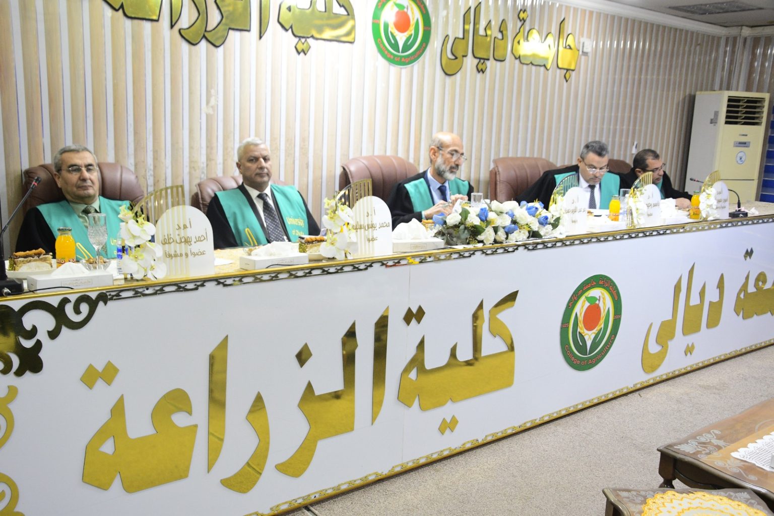
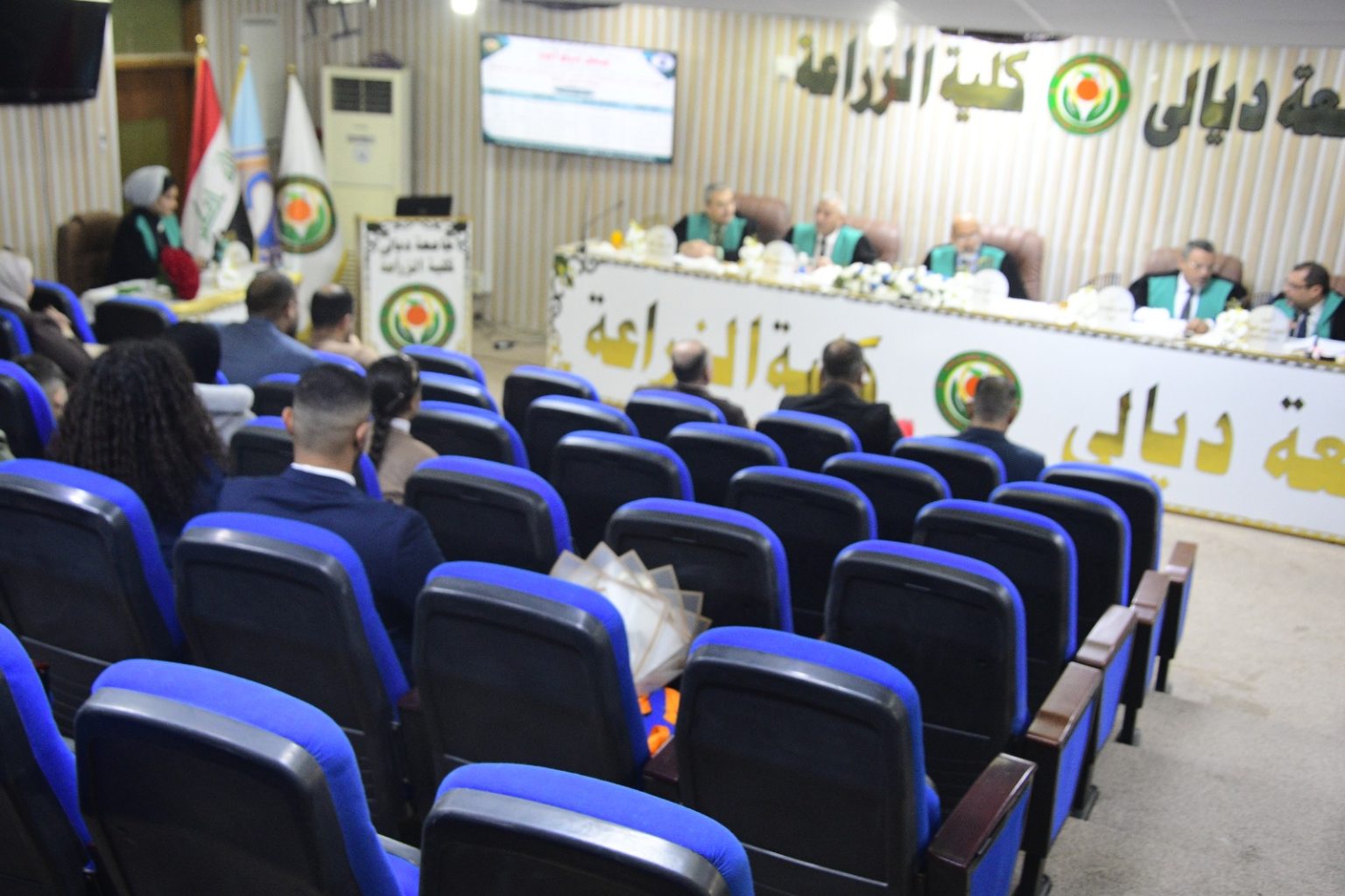
The College of Agriculture at Diyala University discussed the Master’s thesis titled “Assessment of Soil Salinization Degradation in the Southwest Region of Bani Saad Using Geospatial Technologies.”
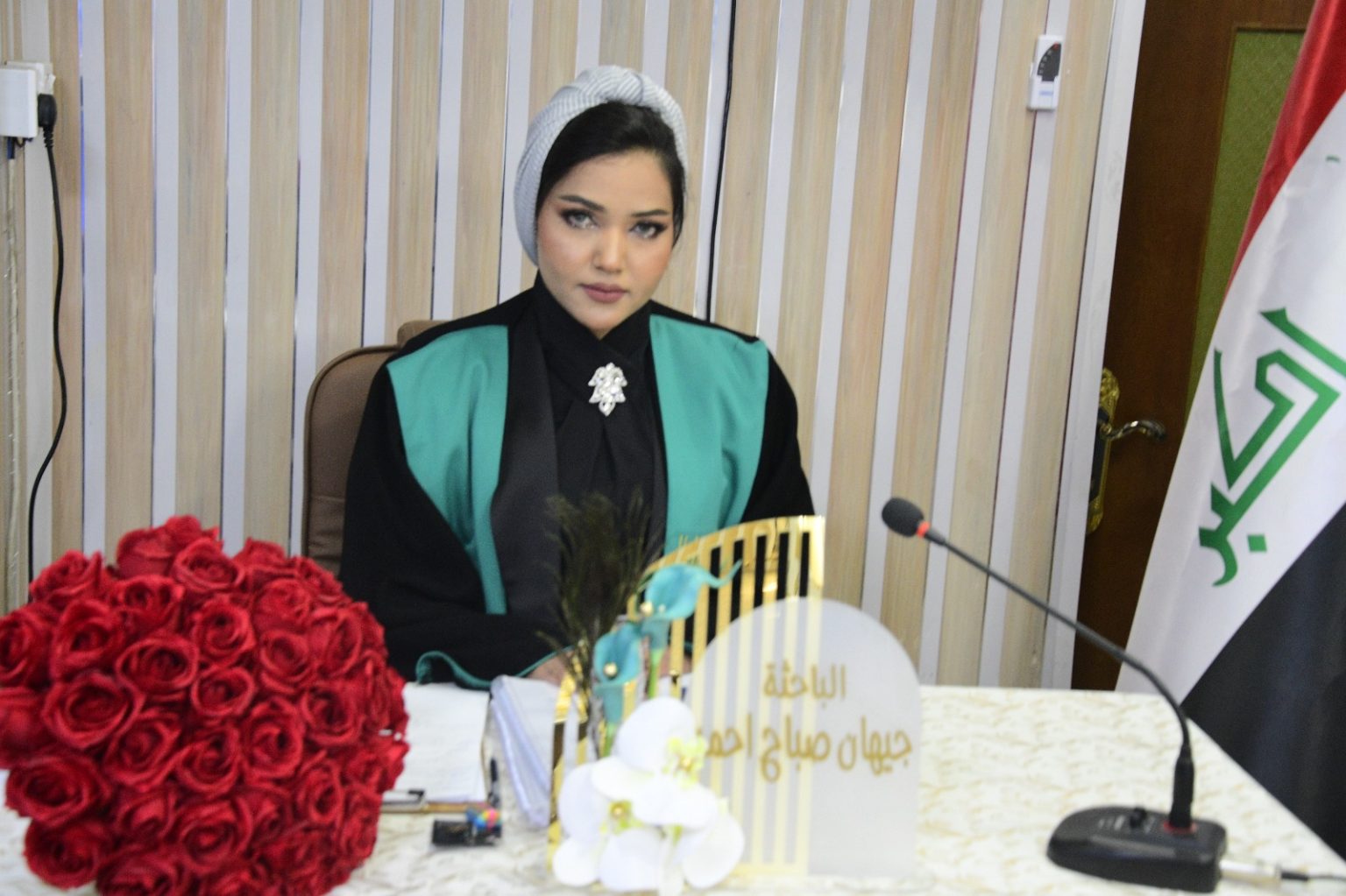
The study, presented by the student Jihan Sabah Ahmed, aimed to identify the factors influencing the spread and development of salinity issues by collecting soil samples, analyzing them in the laboratory, determining their chemical properties, and monitoring soil degradation through the calculation of SI values and other spectral indicators. The study reached several conclusions, including:
-
Climatic factors and improper land use significantly affected the chemical properties in the study area, with variations observed in the surface properties of the soil.
-
The increase in soil salinity led to a noticeable reduction in the area of land suitable for agriculture.
-
Geographic Information Systems (GIS) can be used to generate maps for detecting land degradation status and classifying soils, especially saline soils.
The study recommends:
-
Relying on spatial modeling to determine soil properties and utilizing GIS to identify degraded land and land suitable for agriculture.
-
Using an integrated set of spectral indicators to detect the development of soils by relying on satellite imagery as predictive indicators for identifying saline soils.
-
Emphasizing the importance of utilizing remote sensing technologies and GIS due to their accuracy and speed in completing tasks, as well as the benefits of remote sensing and digital processing techniques by selecting appropriate spectral bands and combining them in different configurations to study the physical and chemical properties of the study area.